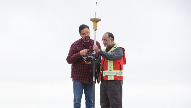
The team who developed a mapping procedure that has assisted emergency responders in reacting to calls more efficiently on the Cowessess First Nation is seeking grants to expand the project.
The procedure provides information about the roads and homes on the Cowessess First Nation in the form of digital maps which are used by the Saskatchewan Department of Highways.
Saskatchewan Polytechnic instructor and grad Abdul Raouf and Geomatics and Surveying Engineering Technology program head CJ Pelletier created the procedure with the help of faculty members and Cowessess First Nation Chief Cadmus Delorme.
“We’re hoping to build a system of procedures that will allow communities like Cowessess to conduct a successful mapping project with the same end results,” Pelletier said.
The Cowessess project received financial support from a Saskatchewan Polytechnic Seed Applied Research Project funding grant.
The team mapped all the roads on the First Nation with GPS equipment, then compiled the data together with street names and house numbers.
Cowessess First Nation’s streets had no names and the house numbers are based on the construction date.
“The dataset required street names and since there were none in the community they had to create new ones,” Pelletier said. “I believe there was a naming contest where names were selected.”
(Photo courtesy of Saskatchewan Polytechnic.)
